Logo of First Coast Ecological Services featuring a tree, marshland, shoreline, and a sea turtle with text indicating ecological services from mangroves to marshes, shorelines to sea turtles.
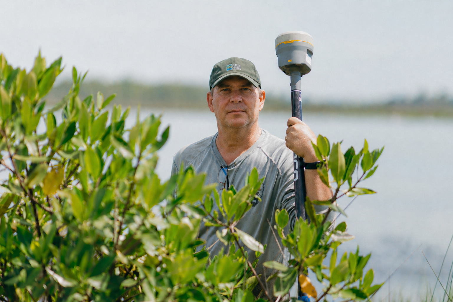
Man standing among green bushes near a body of water, holding a surveying instrument.

Building Resilience Along a Changing Coast

Delivering accurate, field-based data to help communities and agencies make informed decisions and build coastal resilience.
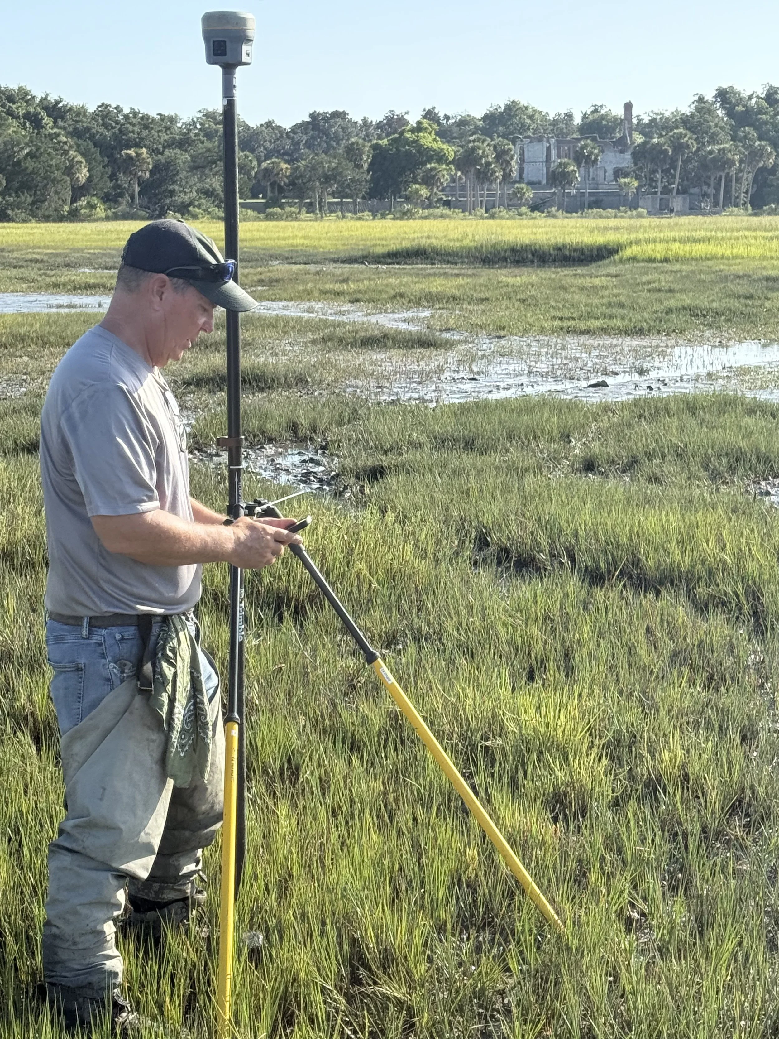
A man wearing a black cap, sunglasses, and a beige shirt is standing in a grassy wetland, looking at a device on a pole, with a large house and trees in the background.
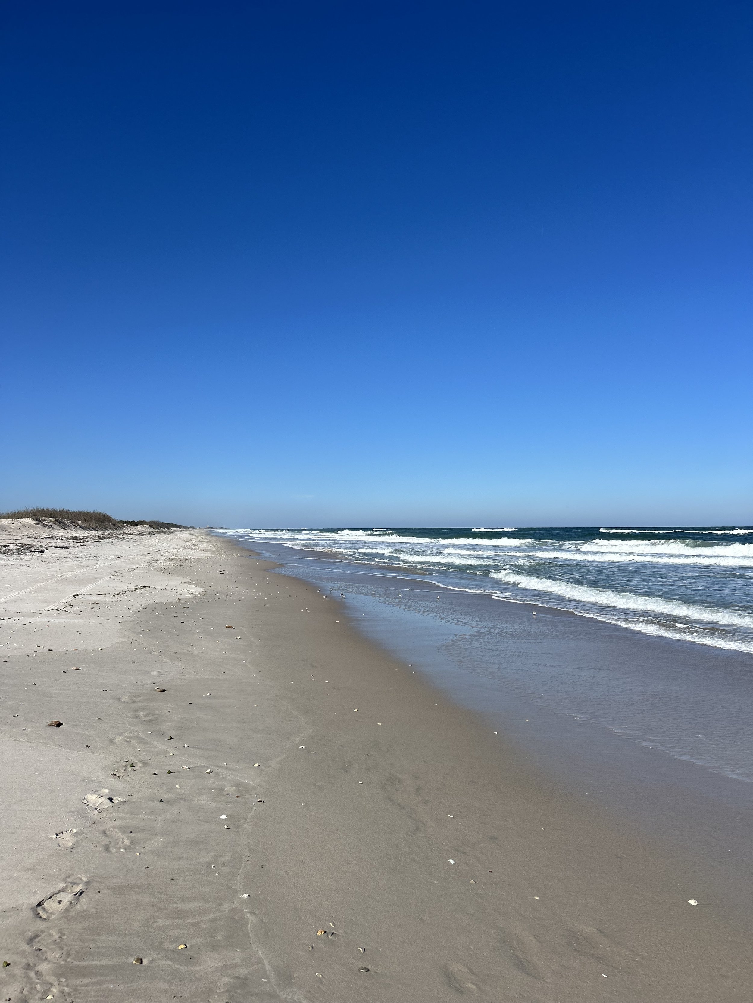
A sandy beach with footprints, gentle waves, and a clear blue sky.

Our Mission:

To advance the understanding and protection of dynamic coastal systems through applied science.

What We Do:

High-accuracy coastal monitoring and geospatial services for shoreline mapping, marsh elevation, and data-driven coastal management.
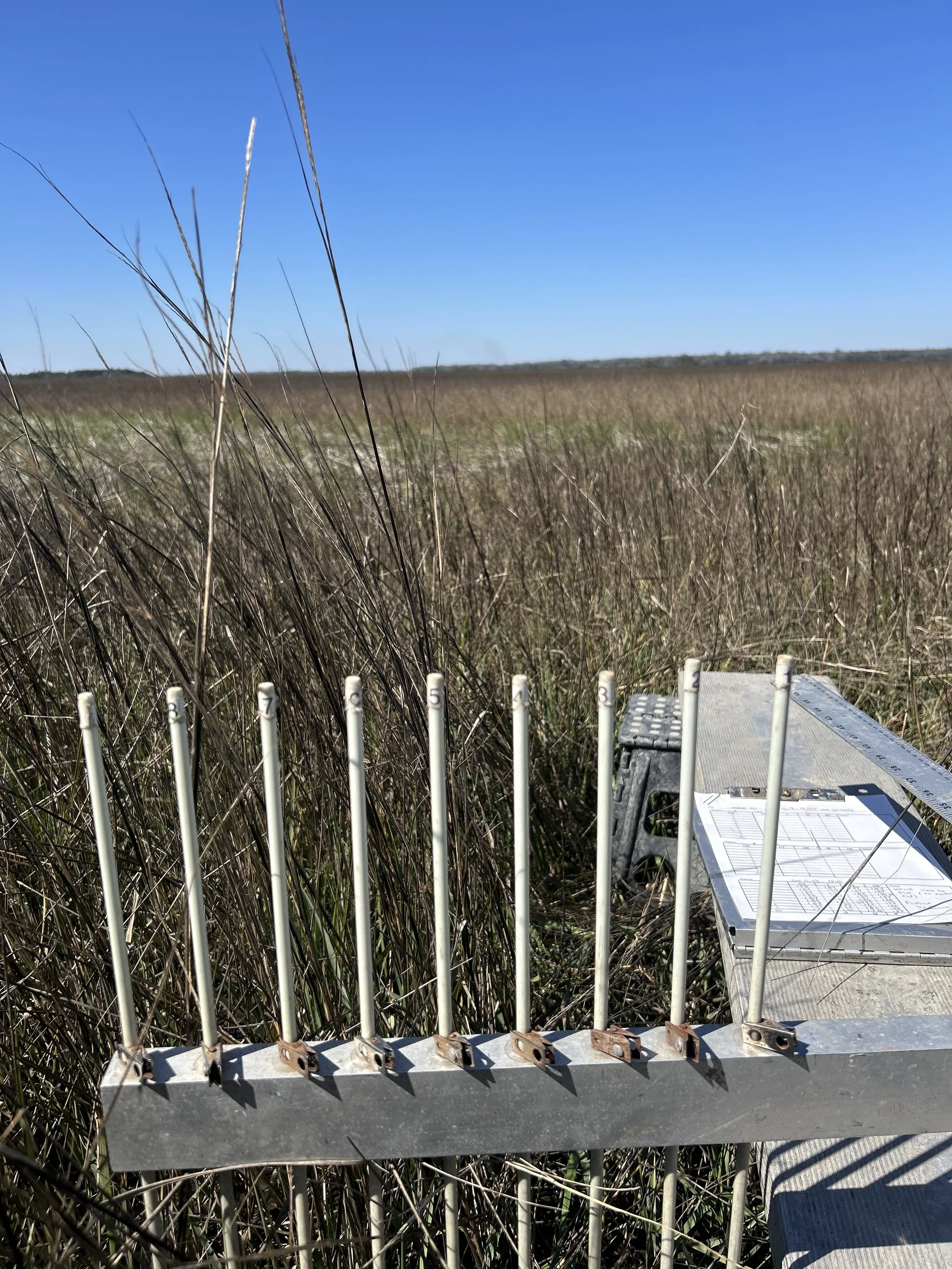
A weather station instrument with a metal base, vertical metal rods numbered 1 through 8, and mounted on a platform, situated in a grassy field under a clear blue sky.
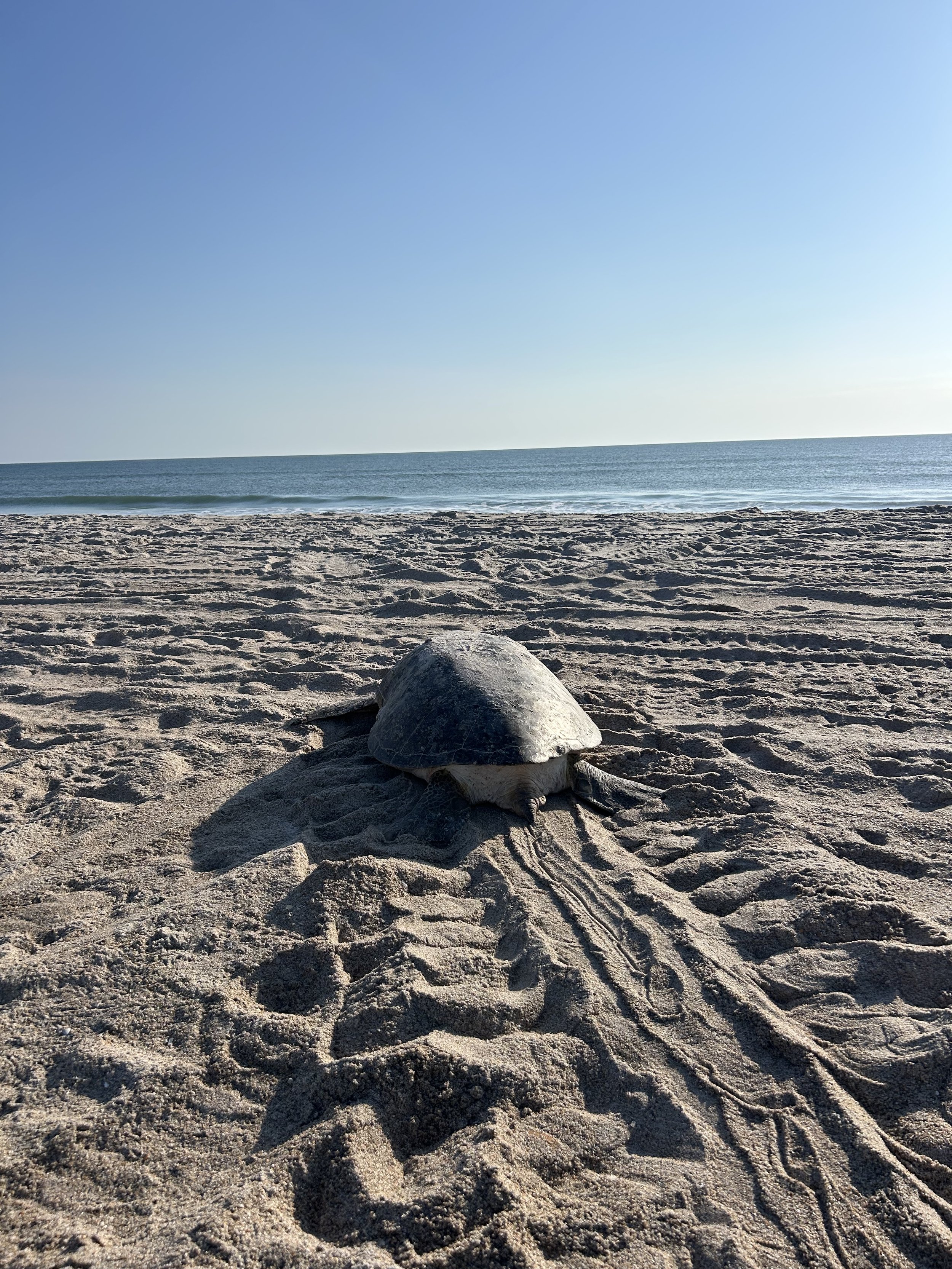
A turtle on the sandy beach with the ocean and clear blue sky in the background.

Services

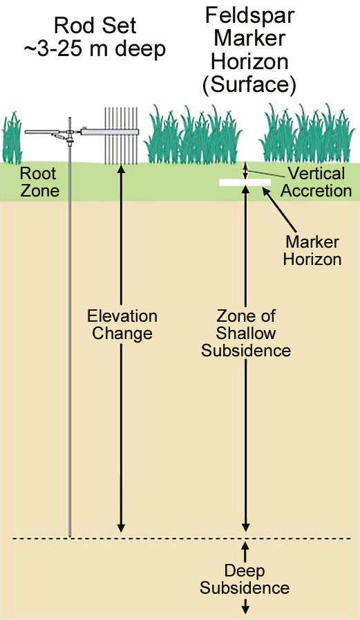
Diagram showing how a rod set measuring 3 to 25 meters deep can detect ground subsidence. It illustrates the root zone, elevation change, zone of shallow subsidence, deep subsidence, and the horizon surface, with markers indicating the horizon and vertical accretion.

Surface Elevation Table (SET)

High-precision measurements to track vulnerability to sea-level rise
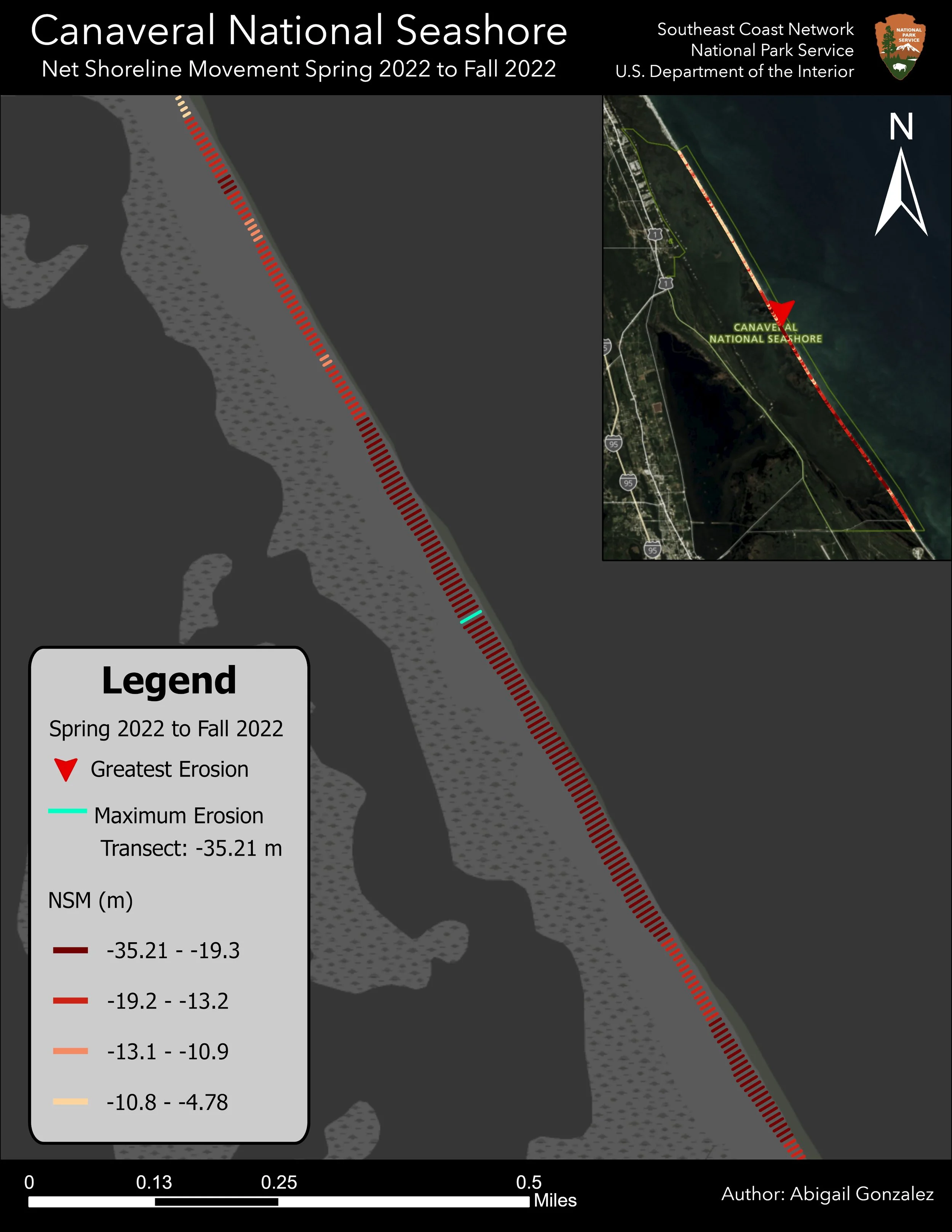
Map showing shoreline erosion at Canaveral National Seashore from spring 2022 to fall 2022, with a legend indicating maximum and greatest erosion, a north arrow, and author credit to Abigail Gonzalez.

Shoreline Change

Tracking and projecting changes in shorelines
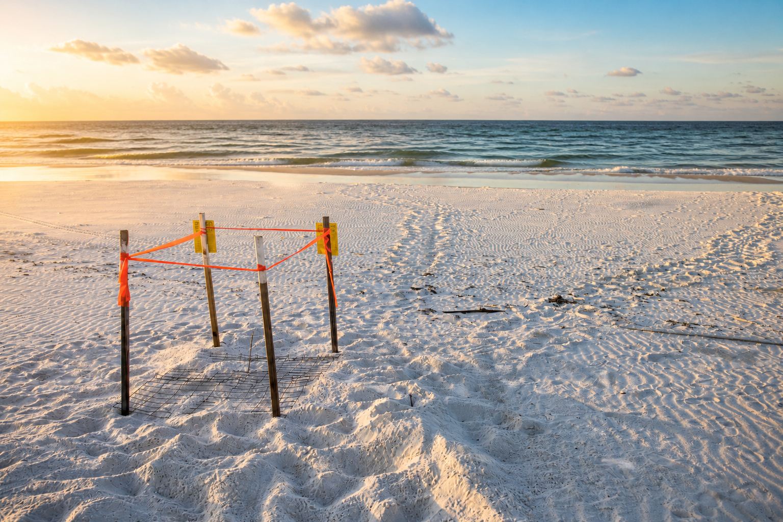
Beach scene during sunset with a warning or hazard barrier on the sand.
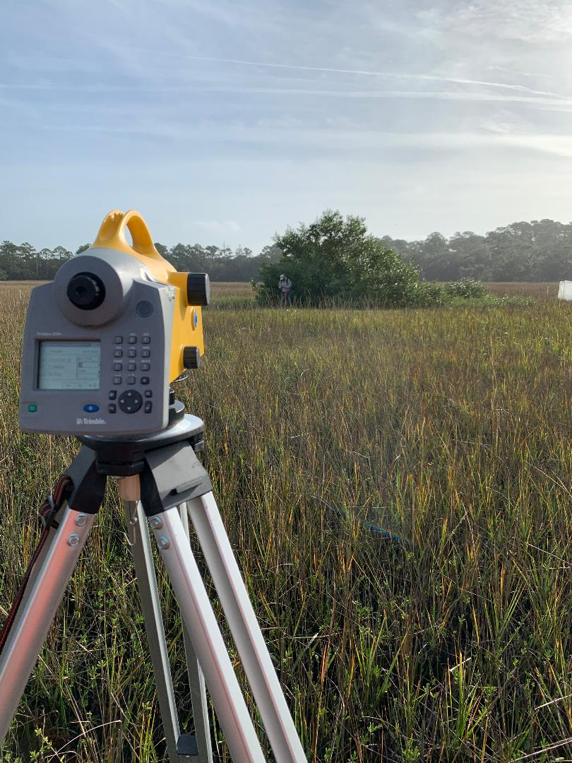
Surveying equipment set up on a tripod in a grassy field with trees and a couple of people in the distance under a partly cloudy sky.

Precision Mapping

High-accuracy GNSS and GIS mapping for coastal and wetland environments